Engineers · Architects
Topographic surveys that get design moving
Design is only as good as the ground under it. We give your design team the existing conditions it needs to start, and the control to carry the project through construction.
What’s included
Elevations and contours
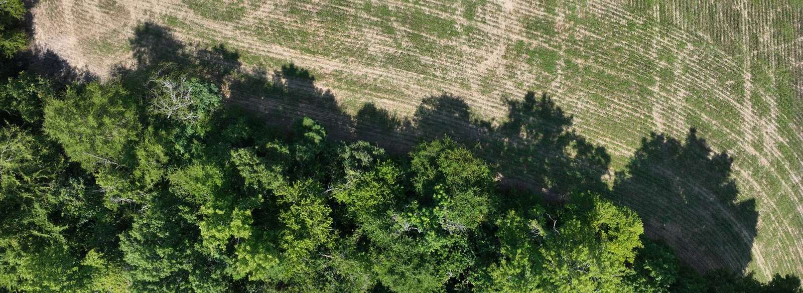
We collect the data with on-the-ground SLAM lidar or an unmanned aerial vehicle, then build and deliver a contoured surface.
Utilities located
Visible surface evidence and any marked utilities located and mapped, with inverts measured where structures can be opened safely.
Survey control
Set on NC State Plane, NAD83, so design, staking and as-builts share one datum.
Deliverables
A certified map and CAD files ready for design.
When you need one
- Your engineer or architect needs existing conditions to start design
- Designing a building, subdivision, parking lot or stormwater pond
- A permit or plan review asks for existing grades
Common questions
What is a topographic survey?
A map of the land as it is today: the shape of the ground and its elevations, plus what’s on it, like buildings, pavement, trees, drainage and visible utilities. Engineers and architects design from it.
Do I need a topographic survey?
A topographic survey generally supports larger residential developments and commercial projects, or any time designed stormwater management is required. Most single-family home builds won’t need one, but the information can still be useful. We can always advise on which services make the most sense for your project.
How do you perform a topographic survey?
We have several tools to choose from: conventional ground survey, on-the-ground SLAM lidar scanning and drone (UAV) survey. Once the scope is set, we evaluate the site and pick the most efficient method to meet your goal.
Do you provide ongoing survey support for a design team?
Yes. Boundary, topo, control, right-of-way and utility mapping, then the staking and as-builts. We can be your survey partner from the first site visit through the last as-built.
Do you locate underground utilities?
We locate visible evidence and measure inverts where we can. Locating buried lines is a separate service. When a design depends on it, we bring in a private locator.
How can we help?
Reach out. If we’re a fit, we’ll offer a no-obligation quote and schedule.